geodata-info
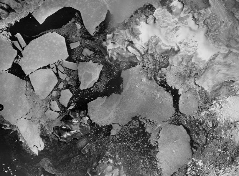
Historiske Ortofoto Grønland
Ortofoto - Grønland er en dataindsamling, der består af historiske ortofotos udarbejdet til brug i forbindelse med søkortlægningen ved den Grønlandske vestkyst.
Ortofoto - Grønland er en dataindsamling, der består af historiske ortofotos udarbejdet til brug i forbindelse med søkortlægningen ved den Grønlandske vestkyst.
)))