 geodata-info
Applications for Mineral Exploration and Exploitation Licences in Greenland
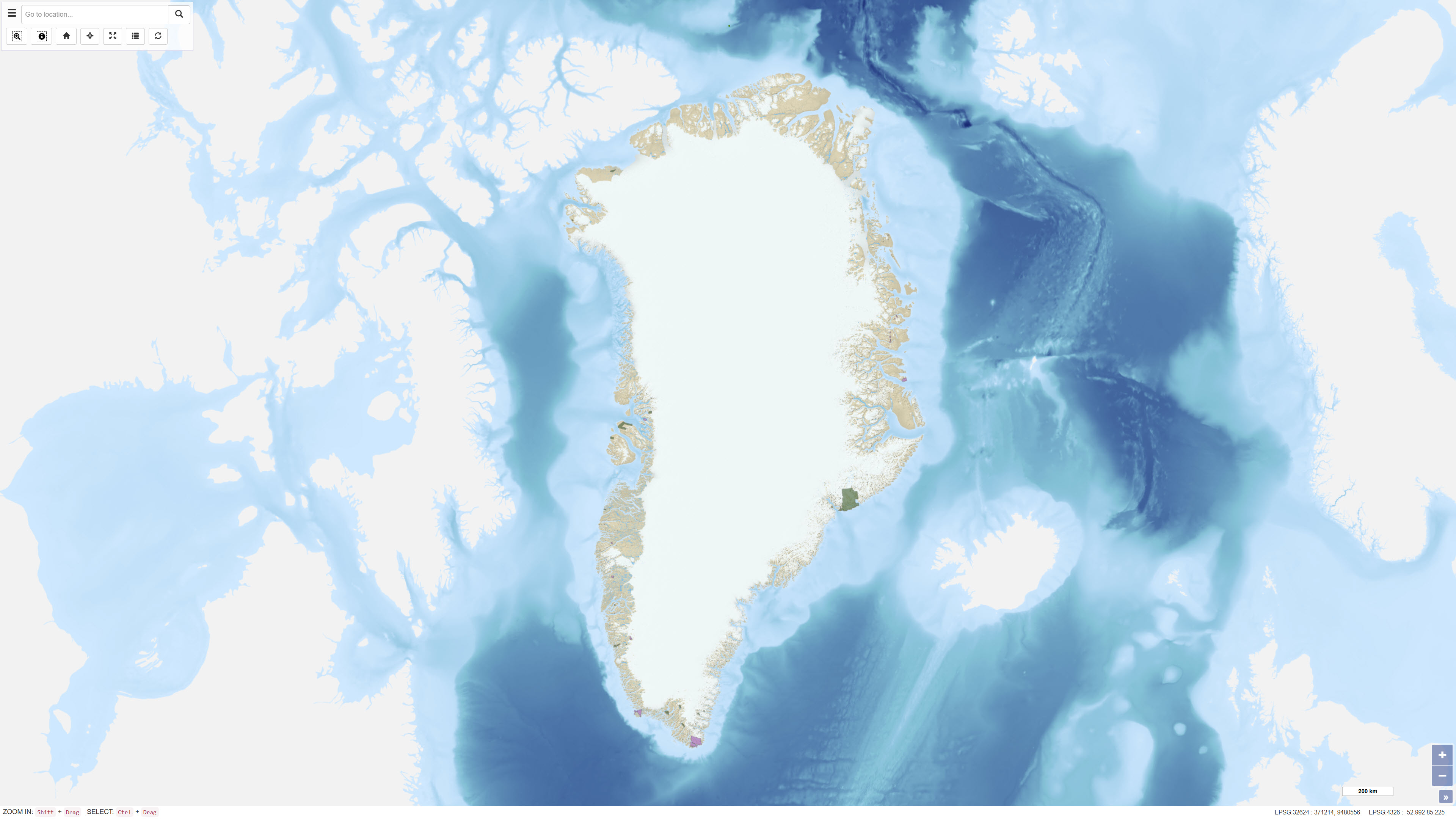
The dataset contains polygons representing applications for mineral-related activities in Greenland, including exploration and exploitation licences. The dataset includes different processing statuses such as Approval Applications, Licence Pending and Under Review. The data are based on geographic information provided via WFS by the Ministry of Mineral Resources in Greenland and are redistributed without modification of the original boundaries. The dataset provides an overview of areas where licence applications are under review or awaiting decision.
Simple
Identifikation
- Titel
-
Applications for Mineral Exploration and Exploitation Licences in Greenland
Offentliggørelsestidspunkt
- Dato (Publication)
- 2022-01-01
Ansvarlig myndighed og kontaktoplysninger
- Kontakt vedr. service
-
Organisationsnavn E-mail adresse Rolle The Ministry of Mineral Resources, and the Mineral Licence and Safety Authority
Point of contact
- Metadata author
-
Organisationsnavn E-mail adresse Rolle The Geological Survey of Denmark and Greenland (GEUS)
Point of contact
Geografisk udstrækning
- Koordinatsystem
-
WGS 84 / UTM 24N (EPSG:32624)
Nøgleord
- Nøgleord
-
Dataset
- Nøgleord
-
Mineral Licences
- Nøgleord
-
Licence Applications
- Nøgleord
-
Administrative Boundaries
- Nøgleord
-
Greenland
- Nøgleord
-
Exploration
- Nøgleord
-
Exploitation
- Type
- Theme
- Nøgleord
- Economic geology
- Type
- Theme
- Titel
- Forskningsemner
- Dato (Publication)
- 2025-11-03
- Nøgleord
- Greenland
- Type
- Place
- Titel
- Geografisk
- Dato (Publication)
- 2025-12-11
Kvalitet
- Type som metadata beskriver
- Dataset
- Beskrivelse
-
Lineage describes the origin and history of the dataset – i.e. how the data was obtained, which sources were used, and which treatments or transformations were performed. The purpose is for others to understand where the data comes from and how reliable it is.
1. Brief description of the data sources (e.g. field surveys, existing databases, public registers).
2. Important processing steps that the dataset has undergone (e.g. reprojection, generalization, quality control).
3. Any external contributors or reference to original datasets if GEUS has not collected the data itself.
Example of a good lineage statement:
"The dataset is based on geological mapping carried out by GEUS in the period 2000–2020. Data has been checked for consistency and reprojected to ETRS89 / UTM zone 32N. For external data, the source and publication are documented."
)))
