 geodata-info
National nitrogen retention maps for Denmark
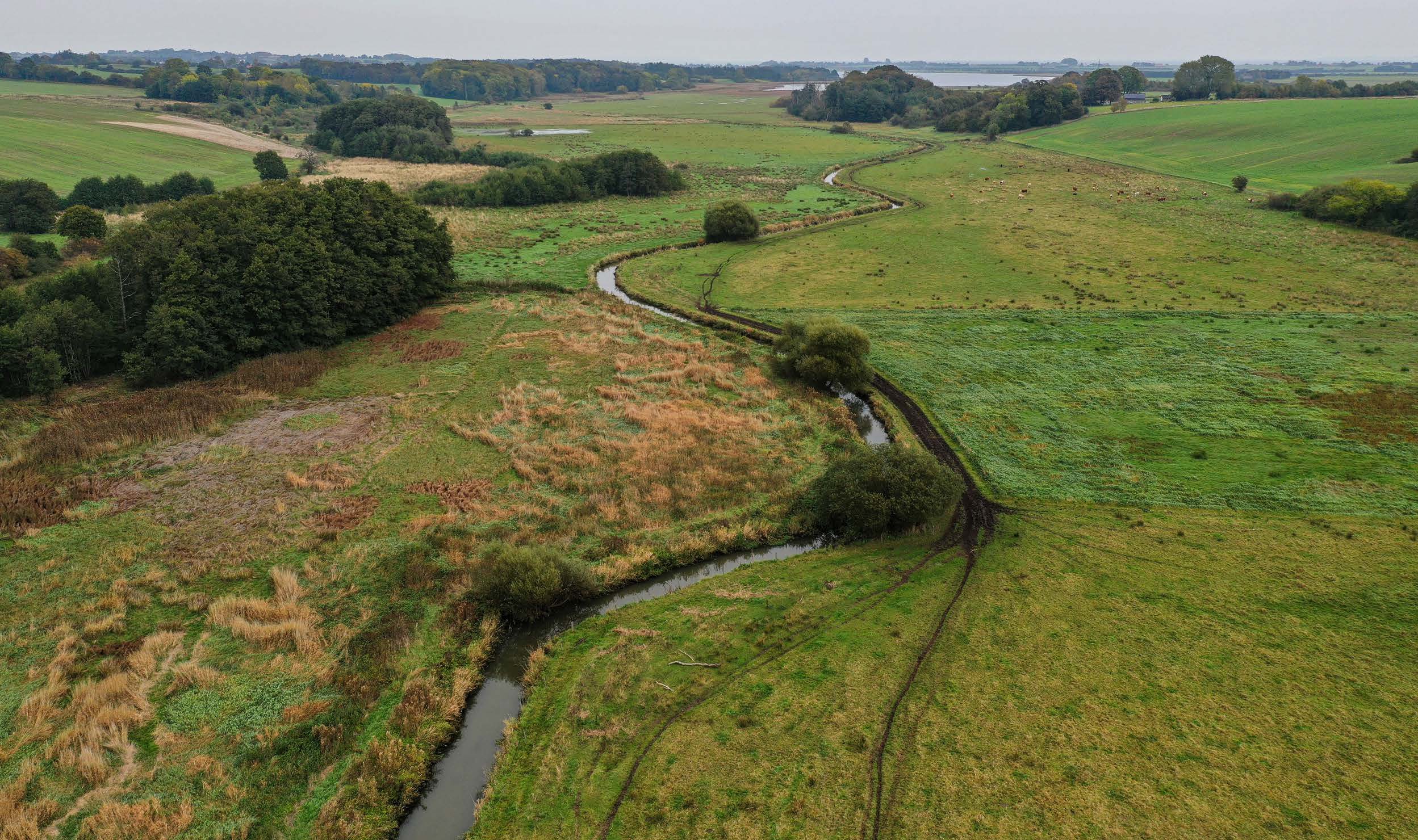
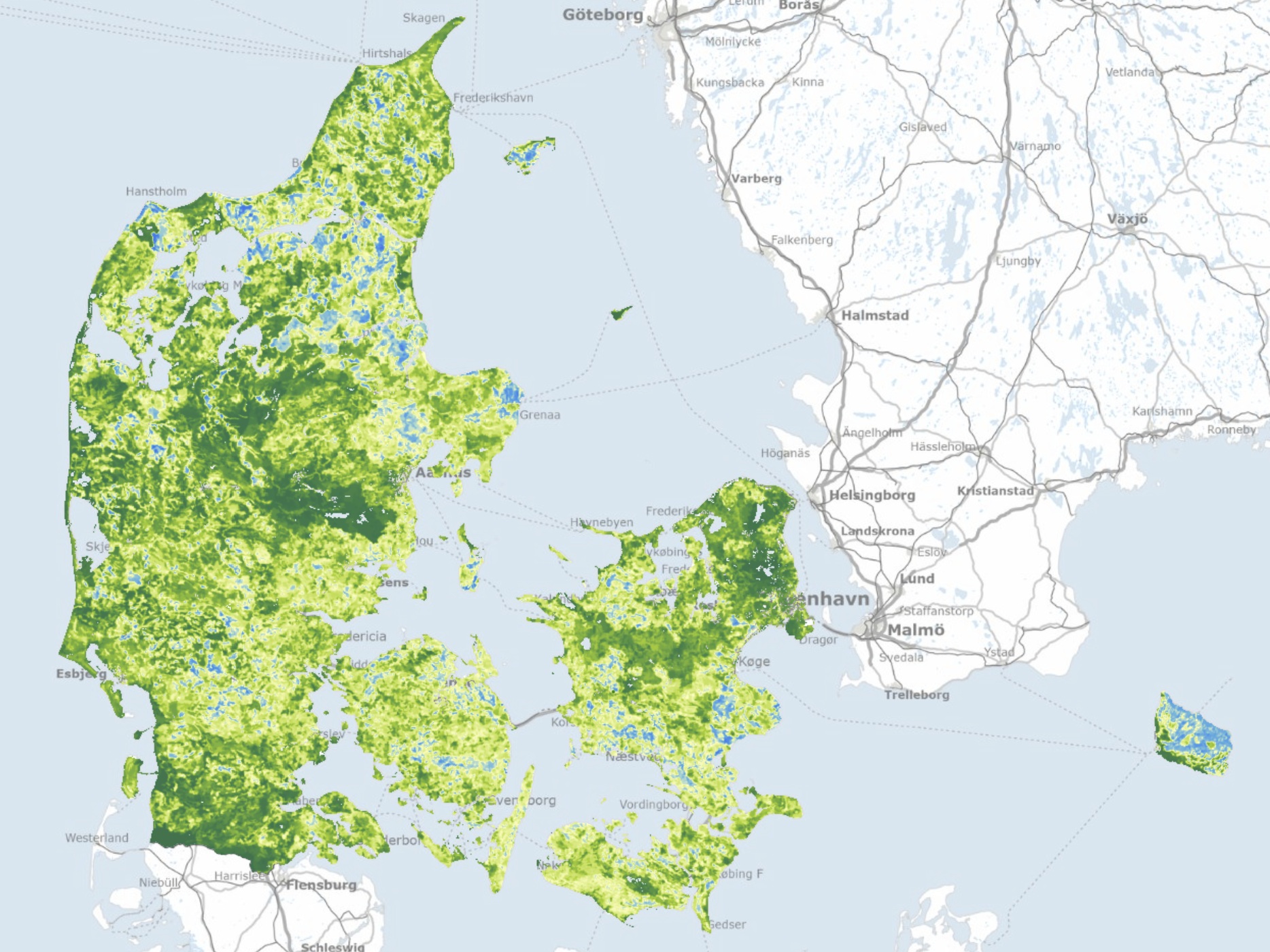
This repository contains three national nitrogen retention maps for Denmark and associated uncertainties. “TotalRetention_regioner.tif” is the total retention (nitrogen removal) from the source location to the coast, “Grundvandsretention_regioner.tif” is the retention during transport in the groundwater and “Overfladevandsretention.tif” is the retention in the surface water system, i.e. streams, lakes, wetlands and inundated areas. The maps for the total and groundwater retention are aggregated from a 100 m grid into regions with a minimum size of 50 ha based on similarity between neighbouring grids. For surface water, the spatial resolution is defined as the contribution catchment discharging to the individual retention environments, e.g. a lake catchment. The total retention is supplemented by two maps “TotalRetention_usikkerhed_regioner.tif” showing the uncertainty in the total retention estimated for each region and “TotalRetention_standardafvigelse_regioner.tif” displaying the standard deviation between the individual grids within each region. All maps are calculated using data for the period 2000 – 2021. The nitrogen retention maps have been developed in a collaboration between GEUS and Aarhus University. (2025-08-29).
Simple
Identifikation
- Titel
-
National nitrogen retention maps for Denmark
Offentliggørelsestidspunkt
- Dato (Publication)
- 2025-08-29
Ansvarlig myndighed og kontaktoplysninger
- Kontakt vedr. service
-
Organisationsnavn E-mail adresse Rolle The Geological Survey of Denmark and Greenland (GEUS)
Point of contact Aarhus University
Author Aarhus University
Author
- Metadata author
-
Organisationsnavn E-mail adresse Rolle The Geological Survey of Denmark and Greenland (GEUS)
Point of contact
Geografisk udstrækning
- Koordinatsystem
-
ETRS 89 / UTM 32N (EPSG:25832)
Nøgleord
- Nøgleord
-
Dataset
- Nøgleord
-
Geology
- Nøgleord
-
Nitrogen
- Nøgleord
-
Retention
- Nøgleord
-
Nitrogen retention
- Type
- Theme
- Nøgleord
- Geoscience and history policy
- Type
- Theme
- Titel
- Forskningsemner
- Dato (Publication)
- 2025-11-03
- Nøgleord
- Denmark
- Type
- Place
- Titel
- Geografisk
- Dato (Publication)
- 2025-12-11
Kvalitet
- Type som metadata beskriver
- Dataset
- Beskrivelse
-
Lineage for the dataset "National Nitrogen Model – version 2020": The data originates from the development of the Danish National Nitrogen Model (NKM), designed to quantify nitrogen leaching and retention in Danish aquatic environments to support environmental assessments and decision-making. The model was developed by the Geological Survey of Denmark and Greenland (GEUS) in collaboration with Aarhus University and the Danish Ministry of Climate, Energy and Utilities, and was published in May 2021. The development included the collection of extensive data on soil conditions, precipitation, agricultural practices and hydrology, the construction of a numerical model to simulate nitrogen transport and transformation, validation against observed data, and implementation in a decision support tool. The model combines process-based and statistical methods, including the NLES model for nitrogen leaching, hydrological models for groundwater and surface water, and GIS-based spatial analysis and visualization.
)))
