 geodata-info
Skråfotos fra Nordøstgrønland
Northeast Greenland oblique aerial photographs
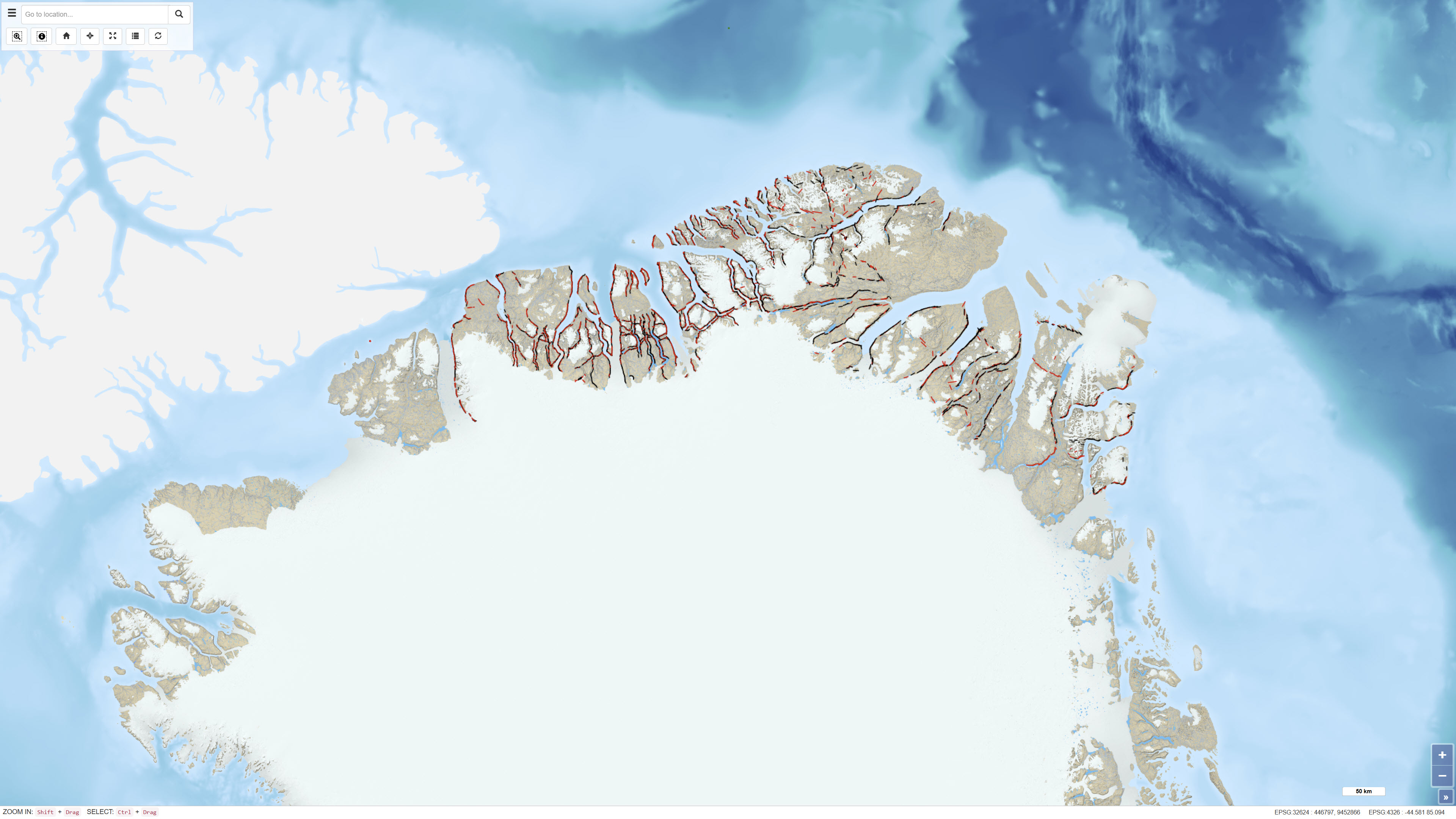
Datasættet omfatter mere end 6.400 skrå luftfotografier optaget i forbindelse med det systematiske geologiske kortlægningsprogram i målestok 1:500.000 i Nordgrønland udført af Grønlands Geologiske Undersøgelse (nu GEUS) i perioden 1978–1985.
Fotografierne dokumenterer stejle fjord- og dalsider og blev indsamlet som led i geologiske feltundersøgelser. Billederne er digitaliseret og gjort tilgængelige via en webbaseret grænseflade, hvor brugeren kan tilgå de enkelte fotografier, deres geografiske placering samt tilknyttet geologisk kodning relateret til det regionale geologiske kort.
Datasættet udgør en systematisk visuel dokumentation af geologiske strukturer i Nord- og Nordøstgrønland.
The dataset comprises more than 6,400 oblique aerial photographs acquired during the systematic 1:500,000 geological mapping programme in North Greenland carried out by the Geological Survey of Greenland (now GEUS) between 1978 and 1985.
The photographs document steep fjord and valley walls and were collected as part of geological field investigations. The images have been digitised and made available through a web-based interface, allowing users to access individual photographs, their geographic locations and associated geological coding linked to the regional geological map.
The dataset represents a systematic visual documentation of geological features in North and Northeast Greenland.
Simple
Identifikation
- Titel
-
Skråfotos fra Nordøstgrønland
Northeast Greenland oblique aerial photographs
Offentliggørelsestidspunkt
-
Dato (Publication)Dato (Publication)
- 2012-01-01
Ansvarlig myndighed og kontaktoplysninger
- Kontakt vedr. service
-
Organisationsnavn E-mail adresse Rolle De Nationale Geologiske Undersøgelser for Danmark og Grønland (GEUS)
The Geological Survey of Denmark and Greenland (GEUS)
Point of contactPoint of contact
- Metadata author
-
Organisationsnavn E-mail adresse Rolle De Nationale Geologiske Undersøgelser for Danmark og Grønland (GEUS)
The Geological Survey of Denmark and Greenland (GEUS)
Point of contactPoint of contact
Geografisk udstrækning
- Koordinatsystem
-
WGS 84 / UTM 24N (EPSG:32624)
WGS 84 / UTM 24N (EPSG:32624)
Nøgleord
-
NøgleordNøgleord
-
Datasæt
Dataset
-
NøgleordNøgleord
-
Skrå luftfotografier
Oblique aerial photographs
-
NøgleordNøgleord
-
Nordøstgrønland
Northeast Greenland
-
NøgleordNøgleord
-
Feltarbejde
Fieldwork
-
TypeType
-
ThemeTheme
-
NøgleordNøgleord
-
Geovidenskab og historiepolitikGeoscience and history policy
-
TypeType
-
ThemeTheme
-
Titel
-
Forskningsemner
-
Dato (Publication)Dato (Publication)
- 2025-11-03
-
NøgleordNøgleord
-
GrønlandGreenland
-
TypeType
-
PlacePlace
-
Titel
-
Geografisk
-
Dato (Publication)Dato (Publication)
- 2025-12-11
Kvalitet
-
Type som metadata beskriverType som metadata beskriver
-
DatasetDataset
-
BeskrivelseBeskrivelse
-
Fotografierne blev optaget som led i det geologiske kortlægningsprogram i målestok 1:500.000 i Nordgrønland udført i perioden 1978–1985 af Grønlands Geologiske Undersøgelse. Programmet for skrå luftfotografering havde til formål systematisk at dokumentere eksponerede fjord- og dalsider.
De analoge fotografier er efterfølgende digitaliseret og georefereret. Billedpositioner er koblet til geologisk kodning og information fra det regionale geologiske kort før publicering i et webbaseret system.
The photographs were acquired as part of the 1:500,000 geological mapping programme in North Greenland conducted between 1978 and 1985 by the Geological Survey of Greenland. The oblique aerial photography programme focused on systematic documentation of fjord and valley exposures.
The analogue photographs were subsequently digitised and georeferenced. Image positions were linked to geological coding and regional geological map information before publication in a web-based system.
)))
