 geodata-info
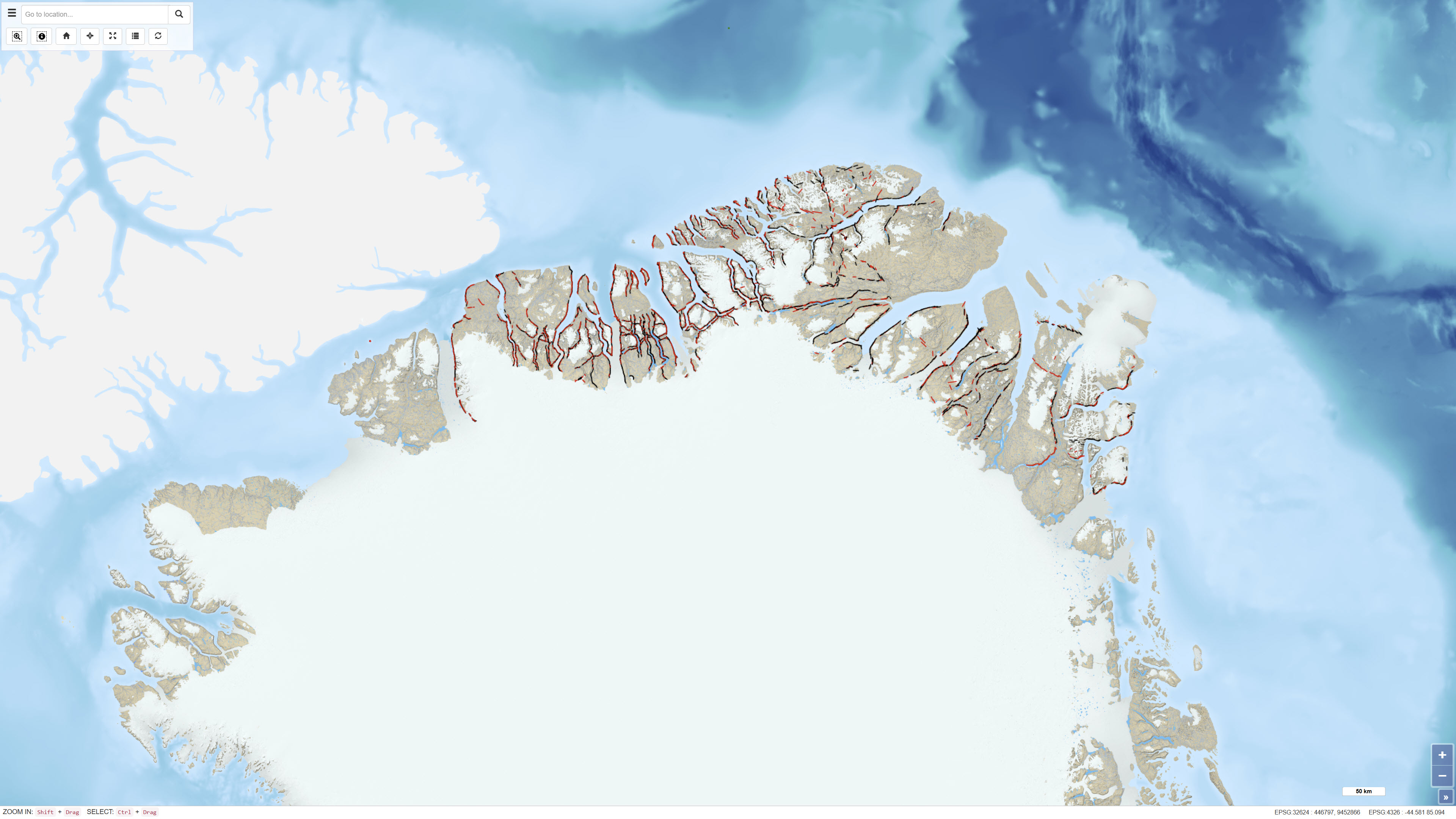
Northeast Greenland oblique aerial photographs
The dataset comprises more than 6,400 oblique aerial photographs acquired during the systematic 1:500,000 geological mapping programme in North Greenland carried out by the Geological Survey of Greenland (now GEUS) between 1978 and 1985.
The photographs document steep fjord and valley walls and were collected as part of geological field investigations. The images have been digitised and made available through a web-based interface, allowing users to access individual photographs, their geographic locations and associated geological coding linked to the regional geological map.
The dataset represents a systematic visual documentation of geological features in North and Northeast Greenland.
Simple
Identifikation
- Titel
-
Northeast Greenland oblique aerial photographs
Offentliggørelsestidspunkt
- Dato (Publication)
- 2012-01-01
Ansvarlig myndighed og kontaktoplysninger
- Kontakt vedr. service
-
Organisationsnavn E-mail adresse Rolle The Geological Survey of Denmark and Greenland (GEUS)
Point of contact
- Metadata author
-
Organisationsnavn E-mail adresse Rolle The Geological Survey of Denmark and Greenland (GEUS)
Point of contact
Geografisk udstrækning
- Koordinatsystem
-
WGS 84 / UTM 24N (EPSG:32624)
Nøgleord
- Nøgleord
-
Dataset
- Nøgleord
-
Oblique aerial photographs
- Nøgleord
-
Northeast Greenland
- Nøgleord
-
Fieldwork
- Type
- Theme
- Nøgleord
- Geoscience and history policy
- Type
- Theme
- Titel
- Forskningsemner
- Dato (Publication)
- 2025-11-03
- Nøgleord
- Greenland
- Type
- Place
- Titel
- Geografisk
- Dato (Publication)
- 2025-12-11
Kvalitet
- Type som metadata beskriver
- Dataset
- Beskrivelse
-
The photographs were acquired as part of the 1:500,000 geological mapping programme in North Greenland conducted between 1978 and 1985 by the Geological Survey of Greenland. The oblique aerial photography programme focused on systematic documentation of fjord and valley exposures.
The analogue photographs were subsequently digitised and georeferenced. Image positions were linked to geological coding and regional geological map information before publication in a web-based system.
)))
