geodata-info
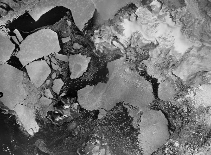
Flyfoto Grønland
Flyfoto - Grønland er en datasamling, der omfatter skanninger af ca. 3.500 historiske grønlandske flybilleder i målforhold 1:500.000.
Flyfoto - Grønland er en datasamling, der omfatter skanninger af ca. 3.500 historiske grønlandske flybilleder i målforhold 1:500.000.
)))