geodata-info
Paspunkter Grønland
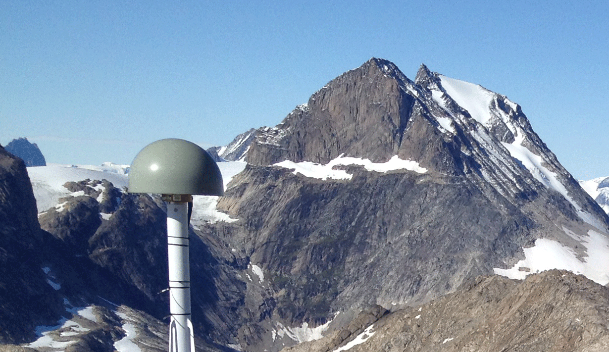
GCA (Ground Control Area) bliver anvendt til verificering af hhv. Grønlands Højdemodel, Vektordata og Satellit ortofoto. Det er primært GCA omkring GNET stationerne i Grønland, der bliver anvendt i nykortlægningsprojektet, men også omkring markante formationer i terræn.
)))