 geodata-info
Oversigtslag over Arkiverede, Upublicerede Historiske Geologiske Kort og Profiler fra Grønland
Index Layer of Archived Unpublished Historical Geological Maps and Sections from Greenland
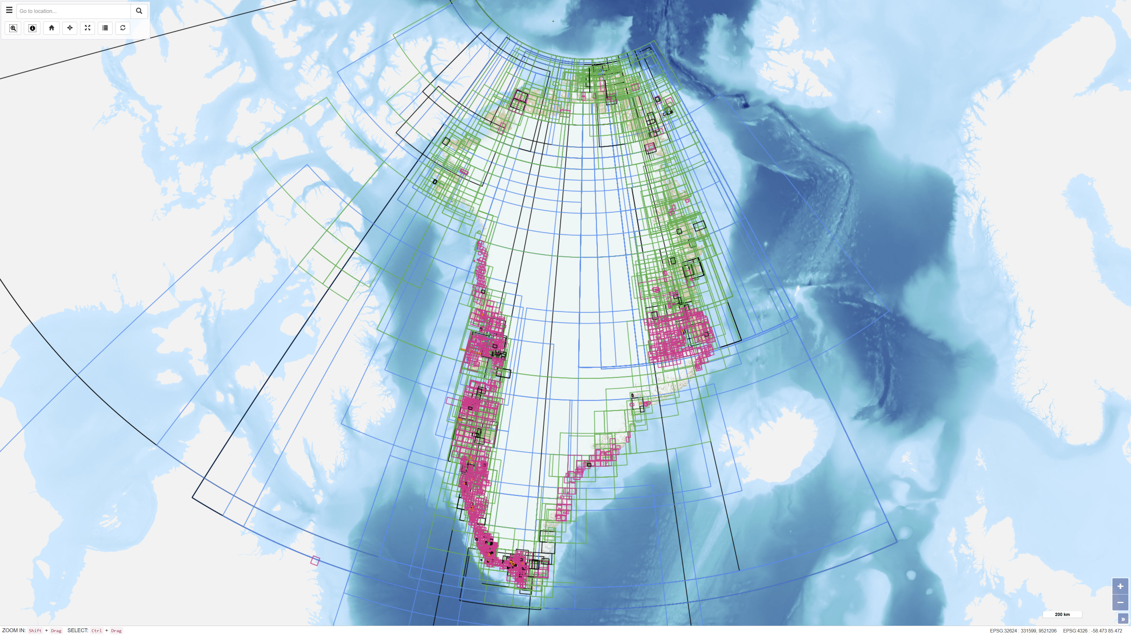
Datasættet udgør et oversigts- og indekslag, der viser den geografiske afgrænsning af arkiverede og upublicerede historiske geologiske kort og profiler fra Grønland. Laget repræsenterer en søge- og lokaliseringsfunktion og indeholder ikke selve kortmaterialet. Datasættet anvendes til at identificere eksisterende arkivmateriale og understøtter adgang til historiske geologiske dokumenter.
The dataset represents an index layer showing the geographic extent of archived and unpublished historical geological maps and sections from Greenland. The layer functions as a search and reference tool and does not contain the original map material. The dataset supports identification and access to historical geological archive documents.
Simple
Identifikation
- Titel
-
Oversigtslag over Arkiverede, Upublicerede Historiske Geologiske Kort og Profiler fra Grønland
Index Layer of Archived Unpublished Historical Geological Maps and Sections from Greenland
Offentliggørelsestidspunkt
-
Dato (Publication)Dato (Publication)
- 2022-01-01
Ansvarlig myndighed og kontaktoplysninger
- Kontakt vedr. service
-
Organisationsnavn E-mail adresse Rolle De Nationale Geologiske Undersøgelser for Danmark og Grønland (GEUS)
The Geological Survey of Denmark and Greenland (GEUS)
Point of contactPoint of contact
- Metadata author
-
Organisationsnavn E-mail adresse Rolle De Nationale Geologiske Undersøgelser for Danmark og Grønland (GEUS)
The Geological Survey of Denmark and Greenland (GEUS)
Point of contactPoint of contact
Geografisk udstrækning
- Koordinatsystem
-
WGS 84 / UTM 24N (EPSG:32624)
WGS 84 / UTM 24N (EPSG:32624)
Nøgleord
-
NøgleordNøgleord
-
Datasæt
Dataset
-
NøgleordNøgleord
-
Geologiske Kort
Geological Maps
-
NøgleordNøgleord
-
Historiske Kort
Historical Maps
-
NøgleordNøgleord
-
Arkiv
Archive
-
NøgleordNøgleord
-
Upublicerede Kort
Unpublished Maps
-
NøgleordNøgleord
-
Grønland
Greenland
-
TypeType
-
ThemeTheme
-
NøgleordNøgleord
-
Økonomisk geologiEconomic geology
-
NøgleordNøgleord
-
Stratigrafi og korrelationStratigraphy and correlation
-
NøgleordNøgleord
-
Tektonik og strukturgeologiTectonics and structural geology
-
TypeType
-
ThemeTheme
-
Titel
-
Forskningsemner
-
Dato (Publication)Dato (Publication)
- 2025-11-03
-
NøgleordNøgleord
-
GrønlandGreenland
-
TypeType
-
PlacePlace
-
Titel
-
Geografisk
-
Dato (Publication)Dato (Publication)
- 2025-12-11
Kvalitet
-
Type som metadata beskriverType som metadata beskriver
-
DatasetDataset
-
BeskrivelseBeskrivelse
-
Datasættet er etableret som et digitalt oversigtslag baseret på registrering af arkiverede og upublicerede geologiske kort og profiler. Geografiske afgrænsninger er digitaliseret eller registreret med henblik på at repræsentere udbredelsen af det tilhørende arkivmateriale. Datasættet indeholder ikke de originale kortdata.
The dataset has been established as a digital index layer based on records of archived and unpublished geological maps and sections. Geographic outlines have been digitised or registered to represent the spatial extent of the associated archive material. The dataset does not contain the original map data.
)))
