 geodata-info
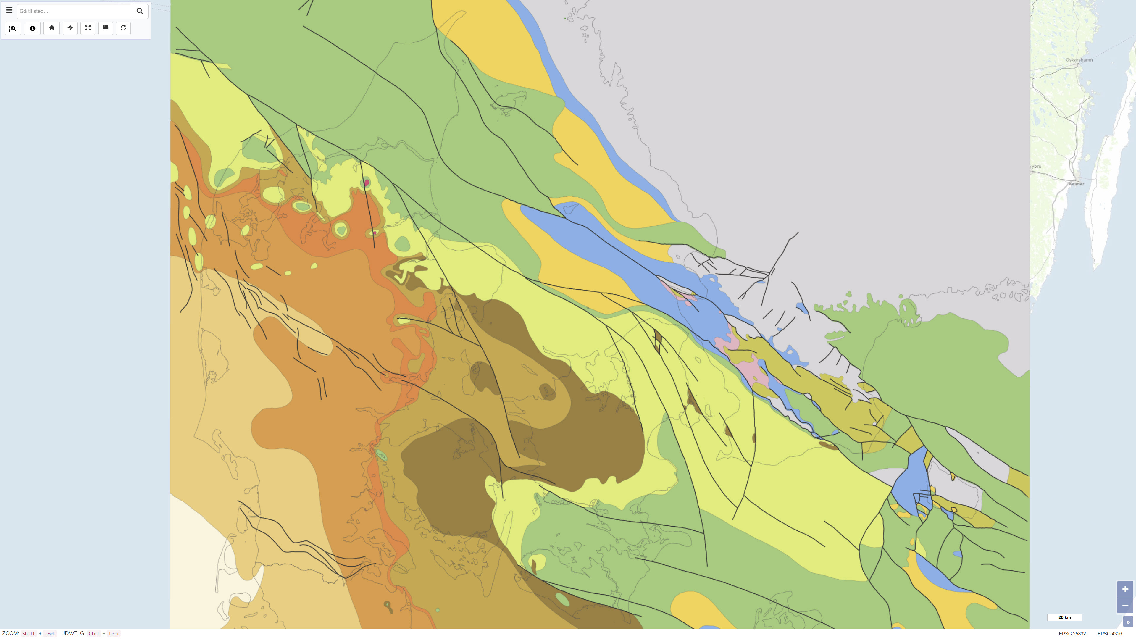
Geological map of the pre-Quaternary surface in Denmark
This dataset represents a geological map of the pre-Quaternary surface in Denmark, compiled by Håkansson & Pedersen (1992). The map illustrates the geological delineation and extent of pre-Quaternary formations beneath the Quaternary deposits and is based on geological observations, borehole data and previous interpretations. The dataset provides a regional overview of the pre-Quaternary geological surface and its characteristics as a basis for further geological interpretation.
Reference:
Stenestad, E. 1982: Karst. Varv, 4, pp. 113-119.
Simple
Identifikation
- Titel
-
Geological map of the pre-Quaternary surface in Denmark
Offentliggørelsestidspunkt
- Dato (Publication)
- 2022-01-01
Ansvarlig myndighed og kontaktoplysninger
- Kontakt vedr. service
-
Organisationsnavn E-mail adresse Rolle The Geological Survey of Denmark and Greenland (GEUS)
Point of contact
- Metadata author
-
Organisationsnavn E-mail adresse Rolle The Geological Survey of Denmark and Greenland (GEUS)
Point of contact
Geografisk udstrækning
- Koordinatsystem
-
ETRS 89 / UTM 32N (EPSG:25832)
Nøgleord
- Nøgleord
-
Dataset
- Nøgleord
-
Geology
- Nøgleord
-
Pre-Quaternary
- Nøgleord
-
Subsurface
- Nøgleord
-
Denmark
- Nøgleord
-
Varv
- Type
- Theme
- Nøgleord
- Geoscience and history policy
- Nøgleord
- Stratigraphy and correlation
- Nøgleord
- Tectonics and structural geology
- Type
- Theme
- Titel
- Forskningsemner
- Dato (Publication)
- 2025-11-03
- Nøgleord
- Denmark
- Type
- Place
- Titel
- Geografisk
- Dato (Publication)
- 2025-12-11
Kvalitet
- Type som metadata beskriver
- Dataset
- Beskrivelse
-
The dataset is based on a geological map of the pre-Quaternary surface compiled by Håkansson & Pedersen (1992). The map is based on geological observations, borehole data and previous interpretations and was originally cited in Stenestad (1982): Karst, Varv, 4, pp. 113-119. The map has subsequently been reproduced and referenced in later publications, including Geo-vejledning 8, where it appears as figure 6. The dataset represents an interpretation-based regional geological overview reflecting the level of knowledge at the time of compilation.
)))
