 geodata-info
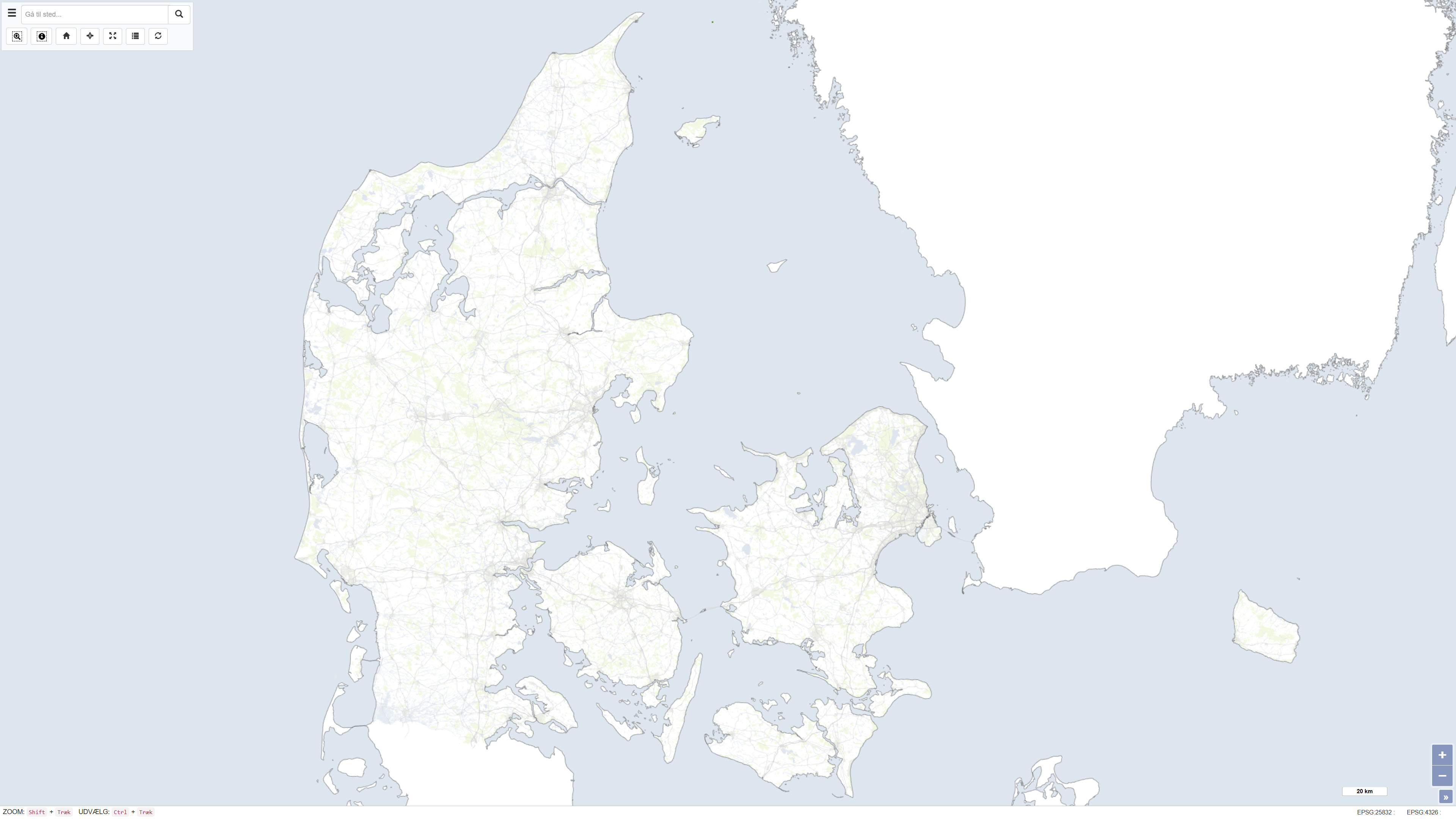
OpenStreetMap baggrundskort over Danmark
The dataset is based on OpenStreetMap (OSM) data downloaded from the official OpenStreetMap distribution platform. The data have subsequently been processed and published as a customised web service.
OpenStreetMap is an open, crowdsourced geospatial dataset that is continuously maintained and updated by a global community of contributors. The dataset contains vector-based geographic features, including transport networks, buildings, land use, hydrography, natural features, and points of interest.
The data are used as a background map and reference dataset for map visualisation and spatial analysis at local, regional, and national scales. Data content and quality vary geographically and depend on contributor activity.
Simple
Identifikation
- Titel
-
OpenStreetMap baggrundskort over Danmark
Offentliggørelsestidspunkt
- Dato (Publication)
- 2023-10-09
Ansvarlig myndighed og kontaktoplysninger
- Kontakt vedr. service
-
Organisationsnavn E-mail adresse Rolle The Geological Survey of Denmark and Greenland (GEUS)
Point of contact
- Metadata author
-
Organisationsnavn E-mail adresse Rolle The Geological Survey of Denmark and Greenland (GEUS)
Point of contact
Geografisk udstrækning
- Koordinatsystem
-
ETRS 89 / UTM 32N (EPSG:25832)
Nøgleord
- Nøgleord
-
Dataset
- Nøgleord
-
OpenStreetMap
- Nøgleord
-
Denmark
- Nøgleord
-
Basemap
- Nøgleord
-
Topography
- Type
- Theme
- Nøgleord
- Geoscience and history policy
- Type
- Theme
- Titel
- Forskningsemner
- Dato (Publication)
- 2025-11-03
- Nøgleord
- Denmark
- Type
- Place
- Titel
- Geografisk
- Dato (Publication)
- 2025-12-11
Kvalitet
- Type som metadata beskriver
- Dataset
- Beskrivelse
-
The dataset is based on OpenStreetMap (OSM) data. The data have been geographically clipped to Northern and Central Europe. Subsequently, the dataset has been generalised and filtered to include selected relevant geographic feature types. The cartographic representation has been adapted using a muted colour scheme for use as a background map.
)))
